
High Pike
Grid Reference: NY 31874 35008
Flush Bracket Number: S6945
Type: Pillar
Built: 20th June 1952
Historic Use: Secondary
Current Use: None
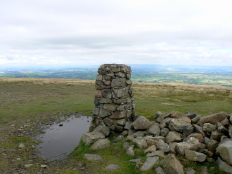
High Pike's trig point.
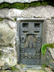
High Pike's Flush Bracket.
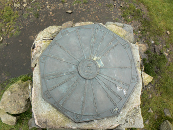
The topograph on the top of the trig point.
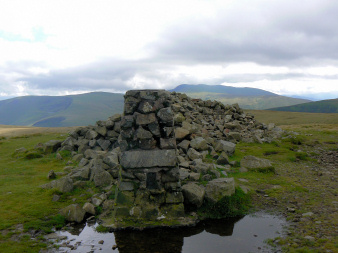
High Pike's trig point.
Roadside by Carrock Beck - Carrock Fell - Miton Hill - High Pike (TP) - West Fell - Quaker Hill - Roadside by Carrock Beck
Calebreck - Carrock Fell - Cumbia Way - High Pike (TP) - Carrock Beck - Calebreck
Apronful of Stones - Carrock Fell (359) - Round Knott (360) - Miton Hill (361) - High Pike (362) - Hare Stones (363) - Great Lingy Hill (364) - Little Lingy Hill (365) - Coomb Height (366) - Mosedale - Apronful of Stones
All pictures copyright © Peak Walker 2006-2022